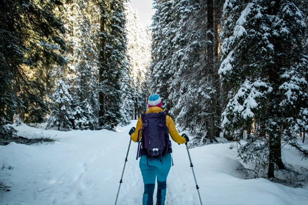
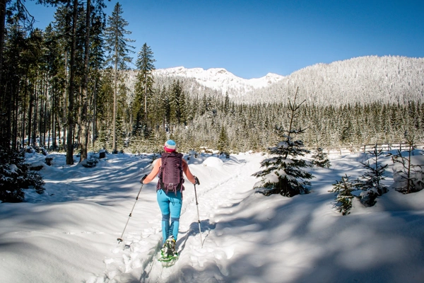
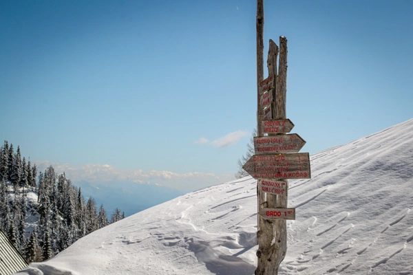
Pokljuka is a forested high karst plateau in the Julian Alps. It is the largest rounded forest area in the Triglav National Park. It is 20 km long and almost as wide. In the range from 1000 to 1400 m, there are about 6300 ha of forests, dominated by spruce.
The varied surface of hidden chasms, overgrown peaks and sinkholes and valleys is a remnant of the Pokljuka glacier. Behind it are the Pokljuka bogs and swampy, difficult-to-pass forest areas. The bogs are among the southernmost high bogs in Europe.
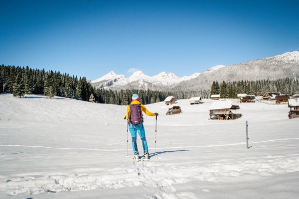
Planina Zajavornik (on maps, Planina Javornik) is a vast mountain range located in the heart of the Pokljuka forests. From the mountain range, which is home to a large number of shepherds' huts (most of which have been converted into weekend cottages), there is a beautiful view of Viševnik, Mali Draški vrh and most of the peaks above the Lipanca mountain range.
In the summer, cows from Bohinj graze on the mountain, where they produce cheese, milk and cottage cheese.
Mojstrana - AC Ljubljana - exit Lesce - Bled - Pokljuka
From Mojstrana, head towards Ljubljana, drive 8 km and turn right onto the Ljubljana motorway.
From the Ljubljana - Jesenice motorway, head towards the Lesce exit and follow the road towards Bled, where at the traffic light intersection, the signs for Pokljuka direct us to the right. Follow this road, which in the lower part takes us through a few villages and later begins to climb steeply, to the Šport hotel in Pokljuka. Park in a suitable space by the road or near the hotel. Parking in front of the hotel is only allowed for guests.
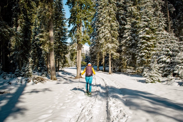
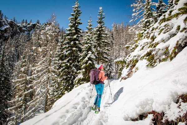
From Šport hotel we return along the road to the intersection with the main road, then continue the climb in the direction of Rudno polje. After about 100 m of walking along the main road, a forest road branches off to the right, which quickly leads us into a spruce forest. We follow the aforementioned road, which climbs steeply and along which we notice some markings, all the way to its end at a larger turning point. At the end of the road we notice a wide marked cart track, along which we continue our journey in a moderate climb. The cart track flattens out after a short climb, then gradually begins to descend. After a few minutes of descent, we step out of the forest onto the spacious Zajavornik mountain pasture.
When we reach the mountain, the path descends steeply for a while, then leads us into the heart of the mountain, where we see numerous shepherd's (weekend) houses. The path continues through a short strip of forest, after which we enter a gravel road
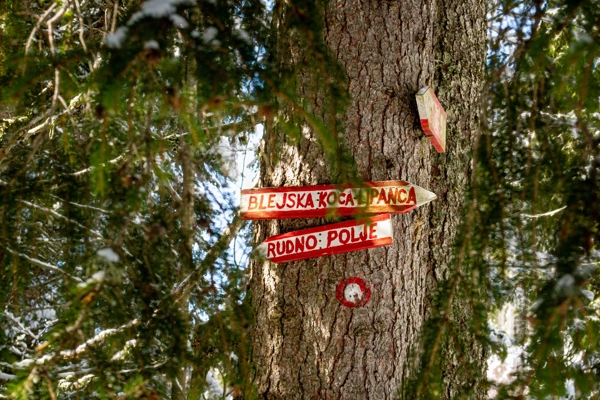
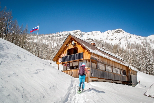
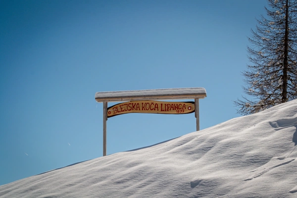
We only cross the aforementioned road, as the signs to the Bled Hut direct us to a wide and initially steep path. The path continues through a sparse forest at first, then through an increasingly dense forest. Higher up, we cross the forest road, and the path gradually becomes steeper. We soon join the path from the monument (Pri Rupah), and then just a little further on we join a wide cart track (the starting point of Medvedova Konta). We continue the ascent along the cart track, which quickly leads us to the lower part of the Lipanca mountain. Here we notice a sign that we are entering a grazing area, which warns us not to take shortcuts. We continue along the wide path, which in a few minutes takes us past the memorial plaque to the Bled Hut on Lipanca.