The Mežakla Plateau is one of the three major high plateaus in Triglav National Park. Situated in the Julian Alps between the Radovna River to the south and the Sava Dolinka River to the north, it sits at an elevation of approximately 1200 meters, with its highest point being Jerebikovec at 1593 meters. To the west, the plateau reaches the confluence of the Krma, Kot, and Vrata valleys, and to the east, it extends towards Bled and Vintgar. The plateau’s limestone surface is karstified, featuring several karst caves, including the Snow Cave on the eastern side of Mežakla, beneath Planškov Peak at 1299 meters above Jesenice.
The Natural Bridge on Mežakla is an intriguing natural formation created by the erosive action of water and uneven weathering of rocks with different resistances. Positioned just below the northern edge of Mežakla, it is a limestone ridge arching across a ravine, measuring approximately 15 meters long, 8 meters high, and about 3 meters wide. Although you won’t be visiting this natural bridge, the route will take you to the highest peak of the plateau.
This journey begins in Jesenice, from where you will cycle through the town and descend via Kočna to Poljane, where you will find the turn-off for the plateau.
Jesenice, known as the iron, hockey, and administrative center of the Upper Sava Valley, is often referred to as the "city of steel and flowers" or the "city of red dust." It is celebrated for its top-quality steel production, a tradition that began in the 14th century, commemorated by the Old Mining Route. The town has been a training ground for top hockey players, including Anže Kopitar, who made his mark in the NHL. It is also known as the "City of Locks" or daffodils, which flourish in Planina pod Golico and Plavški rovt. Additionally, it is a multicultural town, having seen significant immigration from "brotherly" nations of the former Yugoslavia due to labor needs. Today, the only reminder of the golden age of ironworks is an old, tall, renovated chimney, visible from the cycling path.
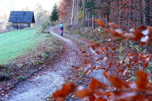
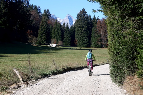
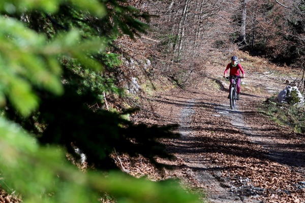
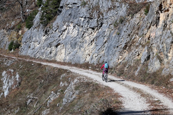
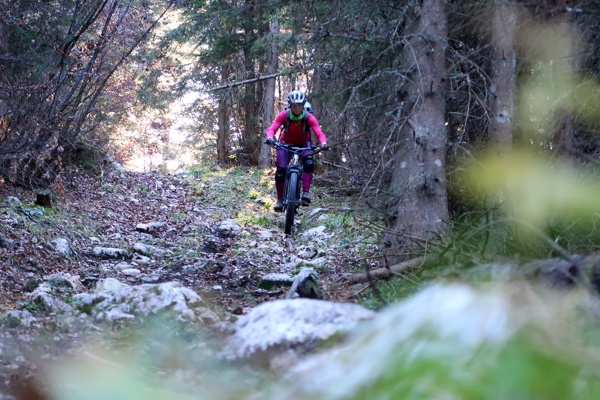
You will enter eastern part of the Mežakla plateau from Poljane. A network of gravel roads will lead you to the highest point. Along the way, you will pass numerous meadows and clearings, such as Rekarjev rovt, Planina Ravno, and Planina Oblek, as well as indistinct peaks like Planski vrh (1299 m), Oblek (1269 m), and Kisovec (1113 m), and various solitary weekend cottages. The 14-kilometer gravel ascent will bring you to the eastern edge of the plateau’s highest peak, Jerebikovec (1593 m), which you will reach via an unmarked but well-visible path.
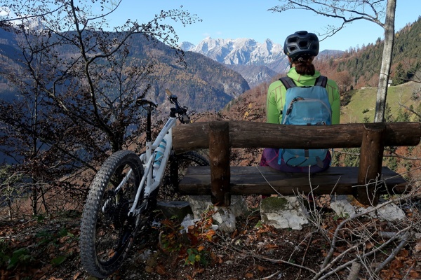
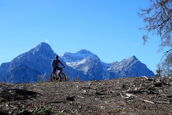
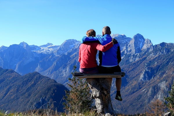
At the top of Jerebikovec (1593 m), you will be rewarded with breathtaking views of the wild world of the Julian Alps, including Triglav (2864 m) and the Vrata, Kot, Krma, and Radovna valleys. The Peričnik waterfall will be visible, and the summit of Triglav will seem almost within reach.
The descent back to Mojstrana will initially follow the same gravel road you took to the summit. From the memorial to the fallen partisans, you will take a steep and challenging mountain path. The final stretch, where you join the asphalt road, will be a relief for your bike brakes.
From 70€ per person
From 15€ per bike
Slovenian Alpine Museum (650 m) - Jesenice (500 m) - Kočna (670 m) - Jerebikovec (1593 m) - Slovenian Alpine Museum (650 m)
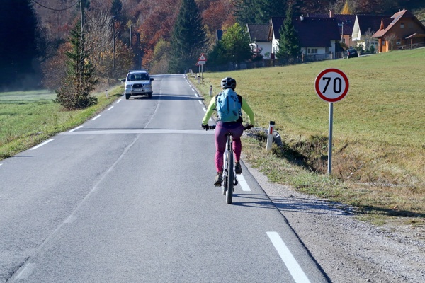
Start from the parking lot in front of the Slovenian Alpine Museum (650 m). Continue towards the village of Dovje and turn right at the main intersection in Mojstrana. Cross the bridge over the Bistrica River and pass the ski slope. Opposite the Mojstrana church, turn right uphill and continue on the gravel road that winds above the main road. Reach a cart track, and at the intersection of cart tracks, turn left. At the next one, go right. The cart track goes straight, and when you go downhill, turn left and descend back to the cycling path. Follow the cycling path uphill to the top and then slightly downhill. After the house on the right, turn right onto the gravel road and follow it to the intersection with the asphalt road leading to Mala Mežakla. Here, turn left downhill and follow it to the overpass over the highway. Turn right (follow the direction signs for Jesenice) and continue on the cycling path to Podmežakla. Through the settlement, go straight for 2 km to the intersection with the main road. The Sava Bridge is on the left. Turn right and go uphill towards Blejska Dobrava, following the signs for the Juliana trail.
Continue following the main road, which climbs to the village of Kočna. From there, continue on the road, slightly downhill, to the small settlement of Poljane. Go through the settlement to the first hairpin turn and downhill to the second one. Here, turn right onto the gravel road. Follow it straight for a long time, and steeply uphill, to the turn-off for Obranca, Zakop. Continue straight (NOT right) and uphill to the first meadow, where you will have a view of the Julian Alps, specifically the Oblek meadow on the right and the Ravne meadow on the left. Cross the meadows, and at the end, turn right uphill past the forestry hut. Through the forest, the view on the left constantly opens up to the Radovna Valley and the mountains above Pokljuka. Continue straight on the well-used gravel road, which is the main road across the plateau. Reach a green barrier across the main road, and soon after the barrier, there is a three-way intersection. Here, turn left and then continue to follow this well-used gravel road. You are always on the left side of the plateau with a view down to the Radovna Valley. The road also descends slightly downhill, and at the end, it climbs in 7 hairpin turns to the highest point of cycling, where the path to Jerebikovec (1593 m) begins (on the eastern side of the hill at 1450 m). Leave your bikes here and hike up the well-visible but unmarked path to the top of Jerebikovec, where a beautiful view opens up.
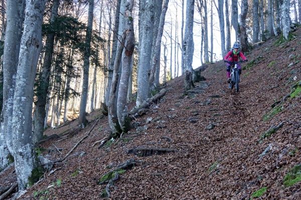
Descend the same way. From where you left the bikes, follow the gravel road (northern side of Jerebikovec) to Tilčevega rovt, which is overgrown. Go downhill on the cart track and then left onto the mountain path. Continue to the memorial to the fallen partisans (1345 m), and then begin a very steep descent down to Mojstrana. The descent is constantly steep. In the upper part, descend to the "rest stop" (1000 m); it is winding (S6). After these winding sections (7 bends), there is a steep part with very short bends (S5). Finally, descend to the "rest stop," where a view opens up to Dovje (S5). From the "rest stop," go steeply downhill on rugged terrain, usually water-worn, to the next bend to the left (S5), and continue quite steeply downhill to the asphalt road (S4). Turn right onto the asphalt road and go downhill to the sharp bend, where a gravel road branches off to the left. Turn left onto this road and go downhill past the tennis courts, then once more downhill to the green suspension bridge over the Bistrica River. Cross the bridge and go straight to the intersection with the main road. Turn right downhill to your starting point—the Slovenian Alpine Museum.
Kranjska Gora, a historic leader in Upper Sava Valley tourism, features the new Robetwist trail and the charming village of Podkoren, known for the Vitranc Cup. Explore scenic paths, historic macadam roads, and the picturesque ...
Journey from Kranjska Gora to Jesenice, exploring Plavški Rovt and Planina pod Golico, known for daffodil fields and twin peaks. This area, rich in hiking trails and ironworking history, offers stunning views, authentic village...
Cycle to the three-border peak of Tromeja - where Slovenia, Italy and Austria meet. Experience stunning views of the Carnic Alps and Planica Valley, while exploring local culture and heritage in this picturesque alpine region.
Vršič Pass is Slovenia's highest road pass, linking Kranjska Gora and Bovec via scenic road with 50 serpentines, built by Russian war prisoners during WWI. Starting at Lake Jasna, the route offers breathtaking views, historic h...