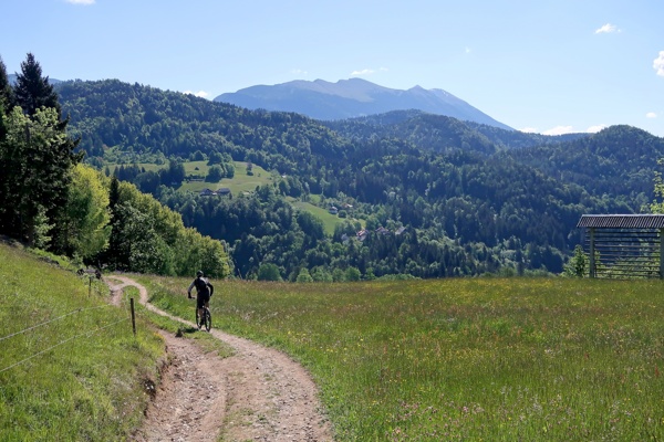
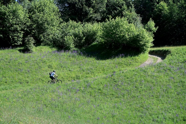
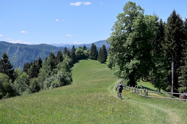
You will journey from our community in Kranjska Gora to Jesenice, specifically to the area of Plavški Rovt and Planina pod Golico, home to the powerful twin peaks of Španov vrh (1,334 m) and Črni vrh (Black Peak, 1,366 m). This area is also rich in daffodils, known locally as "ključavnice," but picking them is forbidden because they are protected. These flowers bloom early in the spring on the pastures and a little bit later in the villages. On Golica (1,835 m) and the surrounding mountains, everything is covered in a white carpet.
The locals love to tell the story of how God warned the bees not to gather honey on Sundays and holidays. When the bees didn’t listen, he locked the flowers with a bubble in the stems under the blooms, which is why daffodils became known as "ključavnice" or "lockers."
Besides the famous flowers, the Planina pod Golico area was also known for its ironworking heritage. In Jesenice, the "town of steel and flowers," you’ll find the largest steel mill and ironworks in Slovenia, which employed over 7,500 people at its peak. The old ore path, 8,300 meters long with a 600-meter elevation difference, reminds us of the time when workers carried iron ore out of caves and transported it to Stara Sava in Jesenice.
The area around Planina pod Golico is also a great starting point for hiking tours in the surrounding region, with Golica (1,835 m) as the highest peak and other lower hills nearby. In the idyllic villages of Prihodi and Plavški Rovt, life still runs as it did in the past, allowing us to experience authentic landscapes and architecture. You will also enjoy some amazing views from your main point, Španov vrh (1,334 m). Unfortunately, this area also hosts a well-known ski recreation center that used to operate at full capacity but is unfortunately no longer in service so there is no option to use the chairlift to reach the top in the summer time.
The tour has a challenging character. You will ascend to Sedlo pod Visokami (1,200 m), descend to Plavški Rovt (880 m), and then ascend again to Španov vrh (1,334 m). You will reach the highest point just a few steps before the top of Španov vrh, specifically at the hut of the Jesenice mountain rescue team on Črni vrh (1,366 m), which, unlike Španov vrh, is not as good a viewpoint. During the summer, food and drinks are available at Španov vrh.
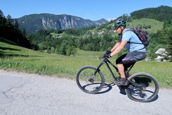
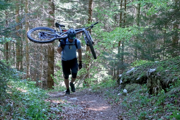
The ascent extends over the macadam road and cart tracks in the last part from the crossroad Križovec (1222 m) to the Črni vrh. Passing the hiking path takes approximately 15 minutes, which means you will have to carry your bikes on your shoulders.
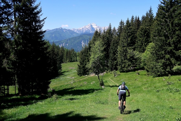
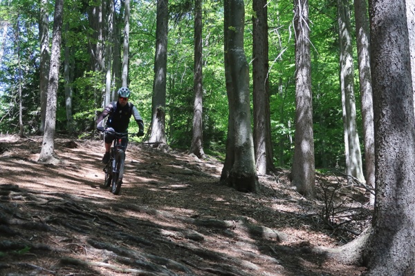
The descent takes place over a macadam road from Sedlo pod Visokami to the turnoff for Plavški Rovt. Other descents are on cart tracks and mostly on steep trails (hiking paths).
From 70€ per person
From 15€ per bike
Slovenian Alpine Museum (650 m) - Dovje (710 m) - sedlo pod Visokami (1200 m) - Plavški Rovt (890 m) - Planina pod Golico (940 m) - Črni vrh (1366 m) - Jesenice (500 m) - Slovenian Alpine Museum (650 m)
Your starting point is at the parking lot in front of the Slovenian Alpine Museum. Continue your way in the direction of Dovje, and at the main crossroads in Mojstrana, go straight. Cross the Požgancev Bridge over the Sava Dolinka River and ascend to the main road. Cross the road and proceed to the village of Dovje. Turn right as soon as you arrive in the village and continue through it, crossing the square straight ahead and heading further uphill, past the apiary through the narrow street. At the crossroads, take the left turn uphill, and at the second crossroads, turn right, passing the last houses onto the gravel road that goes uphill. Continue to the crossroads and then slightly down to the second crossroads, which splits toward Mlinca or Dovška Baba. Follow the direction for Dovška Baba, straight on to the power station on the left (stream).
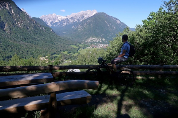
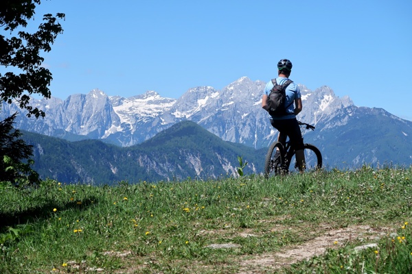
Proceed further slowly uphill past Blaščeva skala to the sharp hairpin turn, where you’ll find an excellent lookout point above Mojstrana with a bench. Continue to the next crossroads and go straight for Visoke-Jesenice (1,090 m). Descend via the gravel road, passing Rogarjev rovt to the "lockers" on the right side, descending 110 m down a hiking path to Plavški Rovt (unmarked road!). In the first part, the descent is difficult (S2-3), and in the second part, before reaching Plavški Rovt, you arrive on a cart track (S1) and descend into the village. At the crossroads with the asphalt road, turn right and continue down the asphalt road to the next crossroads (approx. 200 m), then turn left in the direction of Planina pod Golico. Follow the signs for the Juliana Trail. Continue on the cart tracks, initially downhill and then uphill, past pastures and through a farm’s backyard (be respectful). Proceed on the gravel road to the crossroads with the asphalt road. Turn right here and head back in the direction of Jesenice, gradually uphill to the crossroads with the main road. At the main road, turn right, and before the road starts to descend, take the left turn at the crossroads toward Prihodi (direction signs for Javorniški Rovti). First, follow the asphalt road, which then turns into gravel for about 7 km in the direction of Križovec (1,222 m). About 300 m before the crossroads, at an altitude of 1,250 m, take the unmarked hiking path that leads to Črni vrh (Black Peak). In some places, you will need to carry your bikes on your shoulders for approximately 15 minutes to reach Črni vrh (1,366 m). The path leads you past the mountain rescue team refuge, then turns into cart tracks. Descend a few meters and turn left into the woods. A short descent follows to the saddle under Španov vrh, and a brief ascent to your next station, the oldest chairlift in Slovenia. It's a gorgeous lookout point, with views of the Julian Alps and the Karawanks almost within your reach.
Here, your descent begins. Follow the trail and stick to the eastern part of the ski slope. The path leads past some pastures. The steep but technically easy cart track (S3) suddenly turns into a hiking path (S5), where we recommend carrying your bikes on your shoulders for a few meters. After approximately 20 meters, you will arrive on a cart track (S2) and descend to the right. The cart track leads back to the ski slope, where you continue descending to the middle station of the chairlift. Turn left into the woods along a barely visible cart track, which leads to an old abandoned farm near the previous ski hut. Continue your descent above the fence along the ridge. The grassy cart track will turn into the woods after a few hundred meters, where the descent continues. But be careful! The next turn is hidden behind a tree. The descent passes a disused hayloft. Immediately after the first big spruce on the left, look for the barely visible path. The path turns into a marked road that leads past a holiday cottage in the direction of Skavarjev rovt. From the cottage, the road rises slightly, then follows a beautiful ridge road through the woods on the marked road (S3). At an altitude of 1,000 meters, continue straight on the road. It becomes steeper but not more technically difficult, though caution is still necessary. At the key above the road, turn left onto the road and then descend for approximately 200 meters. You will see a prepared, artificially straightened area for parking cars, and you will search for the old ore path that is hidden between the trees on your right. Your beautiful descent is interrupted in the middle by a fallen stump, overgrown with moss and soil. Soon after the stump, continue on the same path straight ahead and arrive on the road at Skavkarjev rovt.
A few meters along the road, turn left onto the first cart track. Before it starts rising, turn right onto the path that leads through the woods to the cart track. Descend the cart track to the intersection and cross the barely visible forest path, then continue your trip over the steep path with roots. Stick to the left at intersections and arrive at the small shrine dedicated to St. Barbara after the steep descent. Soon after the shrine, turn right onto the narrow path and continue the descent past the house to the water reservoir. Cross the ore path and descend over a few stairs through the woods. The path leads to the road that goes to Planina pod Golico. Cross the road again and take the barely visible path to end the descent at the block of flats on Bokalova Street. Continue to the main road, Tito's Street (Titova Cesta). Turn right, and at the next crossroads, turn left uphill. There is the Faculty of Medicine on the right. Go down the hill and straight to the next crossroads, then turn left under the freeway and continue to the crossroads with the cycling road. Follow the cycling road in the direction of Mojstrana, and after approximately 1.5 km, where the cycling path descends the hill to the Karawanks plateau, turn left downhill toward Male Mežaklja on the asphalt road. After the second turn, take the right onto the gravel road that runs above the cycling road. Continue straight the whole time. This road connects to the cycling one after approximately 3 km. Continue to the crossroads next to the bridge. Turn left here onto the main road toward Mojstrana. Cross the bridge over the Bistrica River, and at the crossroads, turn left toward Vrata Valley. After 500 meters, you will arrive in front of the Slovenian Alpine Museum.
Kranjska Gora, a historic leader in Upper Sava Valley tourism, features the new Robetwist trail and the charming village of Podkoren, known for the Vitranc Cup. Explore scenic paths, historic macadam roads, and the picturesque ...
Cycle through Jesenice to ascend the Mežakla Plateau, nestled in the Julian Alps between the Radovna and Sava Dolinka rivers. Reach Jerebikovec at 1593 meters for stunning views of Triglav and surrounding valleys like Vrata, Ko...
Cycle to the three-border peak of Tromeja - where Slovenia, Italy and Austria meet. Experience stunning views of the Carnic Alps and Planica Valley, while exploring local culture and heritage in this picturesque alpine region.
Vršič Pass is Slovenia's highest road pass, linking Kranjska Gora and Bovec via scenic road with 50 serpentines, built by Russian war prisoners during WWI. Starting at Lake Jasna, the route offers breathtaking views, historic h...