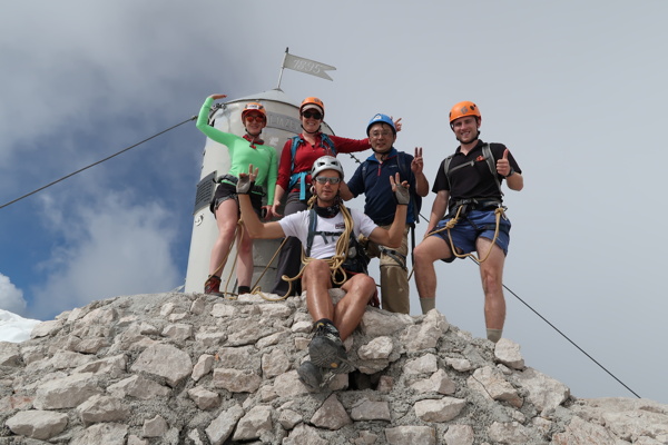
Triglav is a 2864-meter-high mountain located in the heart of the Julian Alps. As the highest peak in Slovenia and the Julian Alps, Triglav is crowned with Aljaž Tower, which was erected in 1895 by Jakob Aljaž, the then-pastor of Dovje. The tower can shelter up to five people in case of a storm and is now protected as a cultural monument, playing a significant role in preserving cultural heritage.
Triglav was first climbed on August 26, 1778, by four brave men, whose monument stands in Bohinj. These men were Luka Korošec, Matevž Kos, Štefan Rožič, and Lovrenc Willomitzer. From the summit of Triglav, one can enjoy a panoramic view extending from the Adriatic Sea, across the Dolomites and the High Tauern, to the Karavanks, Kamnik-Savinja Alps, Pohorje, and almost all of Slovenia's highest peaks in the Julian Alps.
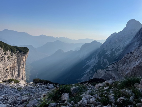
One of the easier and faster routes to Triglav is from the Kot Valley, taking about 4 hours to reach the Stanič Hut, and an additional hour to reach Kredarica. A 3 km long forest road leads to Kot, ending at Lengarjev rovt at an altitude of 1000 m. Kot lacks a mountain hut, but shelters for hikers are available at Lengarjev rovt. This area features a humpy meadow with a rich display of yellow buttercups. In the upper part of the glacial valley, one can admire the walls of Rjavina (2532 m), Luknja peč (2245 m), and Vrbanova špica (2408 m). A hunter’s trail on the left leads to Požar (1543 m) on the Črna gora ridge. This trail is unmarked.
The road to Kot is a pleasant walking path, attractive even in winter as it is not plowed, offering peace and beautiful scenes. At the turn-off of the asphalt road for Kot Valley is Kosmačev preval, with a trailhead on the left for Črna gora (1378 m). This trail is also a hunter’s path and unmarked.
Slovenian Alpine Museum (drive to Kot) - Parking at Lengarjev rovt (950 m) - Dom Valentina Staniča pod Triglavom (2323 m) - Triglavski dom na Kredarici (2515 m) - Triglav (2864 m) - Kredarica (2515 m) - Kot parking lot (950 m)
From the Slovenian Alpine Museum, drive towards Krma, pass the store, and turn right over the bridge over Bistrica, then right again towards Zgornja Radovna. At the top of the saddle, Kosmačev preval, turn right onto a forest road and drive approximately 3 km to Lengarjev rovt. Park before the rovt, as there is limited space for cars, so arriving early is advisable.
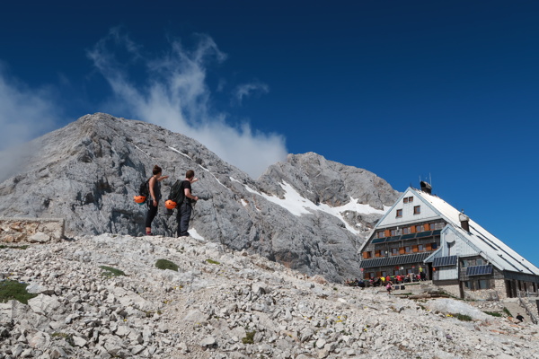
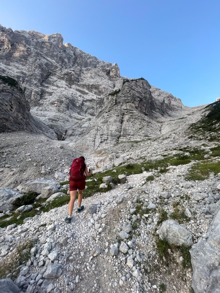
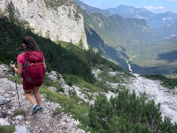
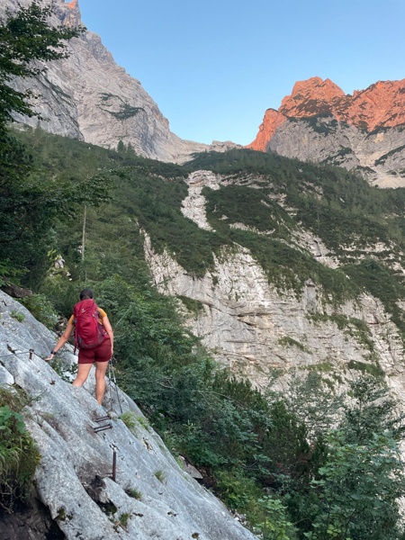
From the starting point, continue on a rough road leading to a turnaround area (parking here is not recommended). The path then turns slightly left, crossing a torrent. After a gradual ascent through the forest, the path steepens after about half an hour of walking, with iron spikes for assistance (not necessary in dry conditions). The steepness then eases, leading to a spring at 1340 m (dry in arid periods). Continue along the marked path, which crosses the torrent, then a brief traverse of a steep section aided by a cable (non-technical). The path then crosses dwarf pine and ascends to rocky slopes, reaching Debeli kamen (a large boulder seen at the top of the slope). Ascend via the gravelly path surrounded by dwarf pine to Debeli kamen, then continue past a small scree slope, turning right to reach a junction. Turn left towards the Stanič Hut and Rjavina (right leads to Vrbanova špica, a very demanding route). The steepness eases, leading to a brief walk to the next junction. Follow the right path to the Stanič Hut, bypassing the Pekel basin (left path leads to Rjavina via a climbing route). Continue gently ascending to the Stanič Hut with a beautiful view of Triglav.
Proceed towards Kredarica along the path ascending gently below the scree of Rž, then traverse across to an indistinct notch in the side ridge of Rž. The path descends slightly with the help of safety equipment, then ascends again. After about an hour from the Stanič Hut, reach the top of Kredarica. Descend for a few minutes to Triglavski dom on Kredarica.
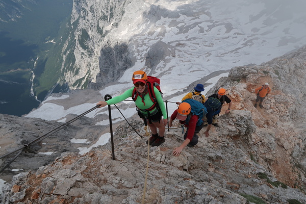
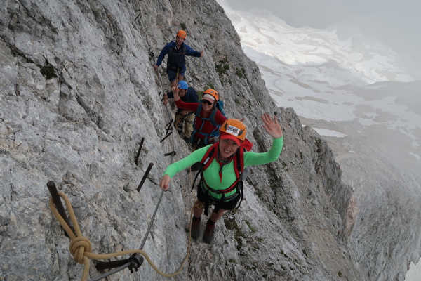
From Triglavski dom, follow the signs for Triglav, descending slightly to the edge of the glacier (Zeleni sneg), then ascending to the start of the climbing section. The path ascends steeply with the aid of iron spikes and cables. After about half an hour of climbing, the path from Planika joins from the left. Continue a few steps to the unmarked summit of Mali Triglav, descend slightly, and follow the exposed but well-secured ridge path. In the final section, the path ascends more steeply, leading to Stanič Shelter, 30 meters off the path. The final, gentle ascent brings you to the summit of Triglav, where Aljaž Tower stands.
The Krma Valley, known for its breathtaking alpine beauty, serves as a popular and accessible route to Mount Triglav. Discover the serene landscapes, vibrant meadows, and unspoiled nature that make Triglav and the Krma Valley a...
Explore Triglav, Slovenia's highest peak at 2864 meters, featuring the historic Aljaž Tower. Enjoy breathtaking views from the summit and discover the stunning Vrata Valley with its majestic North Triglav Wall and Peričnik Wate...