Triglav is a 2864-meter-high mountain located in the heart of the Julian Alps. With this elevation, Triglav is the highest mountain in Slovenia and also the highest peak in the Julian Alps. At the summit stanfs the Aljaž Tower, erected in 1895 by Jakob Aljaž, the then parish priest of Dovje. The Aljaž Tower can shelter up to five people in case of a storm. Today, the Aljaž Tower is protected as a cultural monument and plays a significant role in preserving cultural heritage.
Triglav was first ascended on August 26, 1778, by four brave men, whose monument stands in Bohinj. These brave men were Luka Korošec, Matevž Kos, Štefan Rožič, and Lovrenc Willomitzer. From the summit of Triglav, there is a beautiful view that extends from the Adriatic Sea, across the Dolomites and High Tauern, to the Karawanks, Kamnik-Savinja Alps, Pohorje, and almost all of Slovenia, to the highest peaks of the Julian Alps.
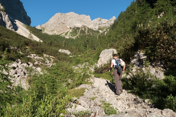
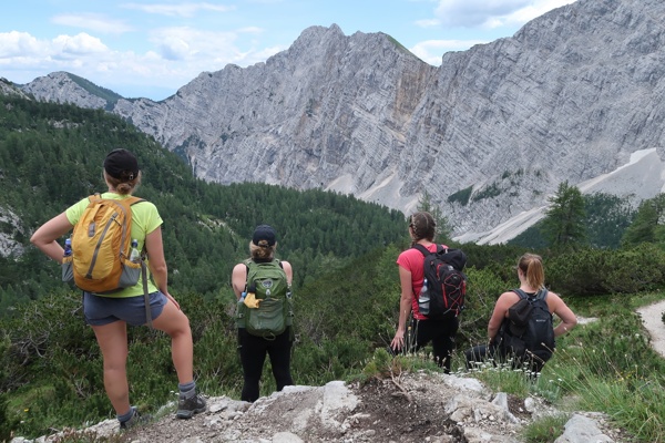
The Krma Valley is over seven kilometers long and represents the longest and also the easiest route to Slovenia's highest peak, Triglav. Krma is also a starting point for many other mountain hikes and ascents to peaks in the Julian Alps. At the end of the valley, there are beautiful views of the peaks of Rjavina, Tosc, Vernar, and more.
Due to its length, where at the beginning of the valley you can admire the almost "endless," beautiful alpine world, the Krma Valley is very popular among hikers, mountaineers, cyclists, and walkers. Anyone who wishes to enjoy unspoiled nature, in the silence of the alpine world, disturbed only by bird song and the rustling of the wind, will enjoy the Krma Valley. The cart path that leads you through vast green meadows, which are dotted with colorful meadow flowers in spring and summer, beautiful mountain peaks covered with conifers, clear skies... these are the beauties that this alpine valley offers. The Krma Valley is beautiful in all seasons.
Slovenian Alpine Museum (drive to Krma) - Parking lot at Lesa Krma (940 m) - Upper Krma (Prgarca 1720 m) - Triglav Lodge at Kredarica (2515 m) - Triglav (2864 m) - Kredarica (2515 m) - Krma parking lot (940 m).
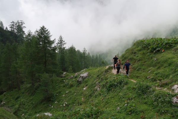
From the Slovenian Alpine Museum, drive towards Krma, past the store, and right across the bridge over the Bistrica River, and again right to Zgornja Radovna, where you follow the signs for Krma. Continue on the gravel road for approximately 6 km, passing the Kovinarska Koča along the forest road to the last parking lot where there is a barrier. From the parking lot, continue past the barrier and follow the easy forest road closed to public traffic. The rough road continues for a while over extensive gravel beds, then turns slightly to the right, where it enters the forest and changes into a rocky cart path. Continue to climb gently through the forest, and after crossing a larger stream, the path begins to climb more steeply through dense forest. Higher up, you exit the forest into a belt of dwarf pine mixed with shrubs, and the path ascends through scree. At an altitude of approximately 1400 meters, the path levels out and, after a few steps, brings you to a beautiful grassy plain called Vrtača.
On the other side of the plain, the wide path begins to ascend again, and after about 20 minutes, it brings you to Malo Polje, where it turns right and brings you to a less noticeable fork. Continue on the well-marked path (left to Vodnikov Dom via Bohinj Vratca), which continues to ascend gently and brings you to a trough with water. The path splits here; continue straight on the marked path, which crosses initially grassy, then slightly forested slopes, bringing you to the shepherd's hut at Zgornja Krma.
From the shepherd's hut, continue slightly to the right on the marked mountain path, which brings you to a marked crossroads after a few minutes of gentle ascent. Continue to the right towards Kredarica and Stanič Lodge (left to Planika and Konjsko Saddle) on the gentle transverse path, which brings you to the next crossroads with beautiful views.
This time, continue slightly left towards Triglav Lodge (straight to Stanič Lodge) on a path that gradually begins to climb more steeply. After a few minutes, the path turns left and begins to climb steeply across the grassy slope. At the top of the slope, the path turns slightly left and gradually enters a smaller, occasionally quite eroded valley. The path levels out and brings you to a more plateau-like world surrounded by dwarf pine, where you reach a smaller unmarked crossroads. Continue to the right (left to Konjsko Saddle on an unmarked path) on the marked path, which continues to climb gently over increasingly rocky terrain. A little further on, you come to a crossroads of several paths, where you carefully follow the signs for Kredarica (left to Vodnikov Dom, right to Stanič Lodge). The path begins to climb steeply under the slopes of Vrh Snežne Konte (the area is called Kalvarija). The increasingly scree-covered path slowly turns left, and at the end of the ascent over Kalvarija, it joins the path from Konjsko Saddle.
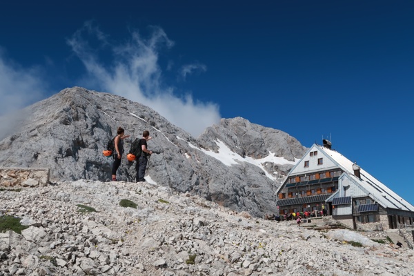
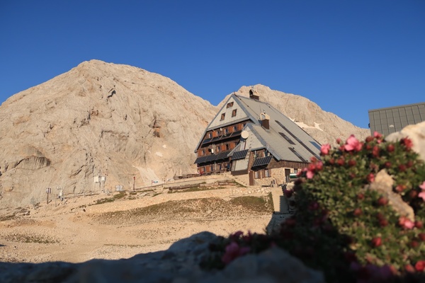
Continue towards Kredarica on a moderately steep path, which brings you to the next marked crossroads after a few steps. Turn right (left to Planika) to a moderately steep path, which brings you to an indistinct ridge connecting Vrh Snežne Konte with Kredarica. Here, the path turns slightly left and begins to climb more steeply towards Triglav Lodge at Kredarica. After about 15 minutes of steep ascent, the path levels out, and you can see the highest-lying mountain hut in Slovenia, which you reach after a few more steps.
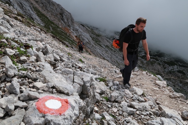
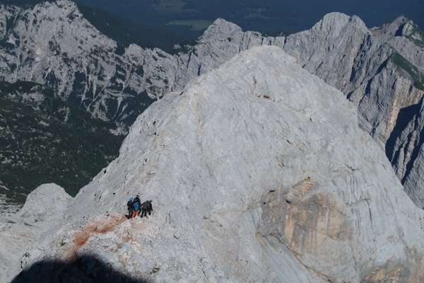
From Triglav Lodge, continue towards Mount Triglav on a path that begins to descend moderately towards the pass between Kredarica and Mali Triglav. Here the path from Vrata Valley joins you from the right, and you continue straight on the increasingly steep path, which begins to ascend over rugged rocks. After a few minutes of steep ascent along the path that runs by the Green Snow, you reach the beginning of the climbing section. At the large marker visible from afar, you will see a signboard warning that you will continue the ascent on a very demanding secured mountain path. The path climbs even steeper over rugged rocks, then with the help of a steel cable, you cross to the left where you reach a very demanding technical section. The path climbs steeply along an exposed ledge, secured only with spikes. The steep and well-secured path then brings you to the ridge of Mali Triglav, where the easier path from Planika joins from the left.
Continue straight on the ridge path, which brings you to the summit of Mali Triglav after a few steps. From Mali Triglav, where you get a beautiful view of the summit and most of the remaining path, the path descends slightly and brings you to an indistinct saddle between the two peaks. The path then begins to climb again along a well-secured ridge path. Follow this very scenic and occasionally very steep path all the way to the summit of Mount Triglav.
Triglav, Slovenia’s highest peak at 2864 meters, features the iconic Aljaž Tower, built in 1895. Offering panoramic views, it was first climbed in 1778. The Kot Valley route is a popular path, leading by Valentin Stanič hut.
Explore Triglav, Slovenia's highest peak at 2864 meters, featuring the historic Aljaž Tower. Enjoy breathtaking views from the summit and discover the stunning Vrata Valley with its majestic North Triglav Wall and Peričnik Wate...